I’m spending five days in the Richmond, VA area on a self-designed research and writing retreat. Both my protagonist and the emerging country into which she was conscripted began to shape their destinies here. My novel is historical fiction, and I want to be true to the history that forms the core of the creation.
I have been editing this section of the novel for several weeks and have found it difficult to match my narrative to history without being here. I had always envisioned a research trip, and this free weekend beckoned. Many questions are haunting me: What did the waterfront look like in 1776? What was the atmosphere of Richmond in those days, still with a very small population? What would it have felt like to travel the relatively short distances among neighboring plantations and between the plantations and Richmond?
Some of the information is available in books and online. But I wanted to see it in person. I’m sad I won’t be able to do that for Dahomey (present day Benin,) the protagonist’s home country. So, even more important to take advantage of my proximity to Richmond.
I have a “grid” for each day. After dropping off my sidekick– Standard Poodle, Rhett– at the pet lodging, I started my visit with a canal cruise and a walk along the river front.
George Washington proposed legislation to build the canal in 1784. He had a vision of a canal system that would circumvent the falls on the James River at Richmond, linking rivers and facilitating trade with western Virginia. When completed, the canal extended one-hundred and ninety-seven miles to Buchanan, Virginia. It was the first tow-path canal in the country.
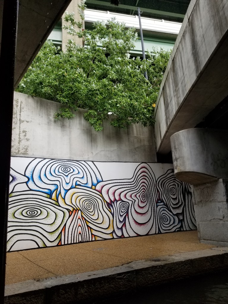
Today, its landscaped banks in Richmond are shi-shi, lined with restaurants, upscale condos, and art. Parts of its walls are made from granite blocks that used to form the five locks.